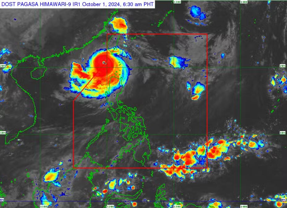
MANILA,— Severe tropical cyclone Julian (international name: Krathon) has now intensified into a super typhoon, with maximum sustained winds reaching 185 kilometers per hour (kph) and gusts up to 230 kph, according to the Philippine Atmospheric, Geophysical and Astronomical Services Administration (PAGASA).
As of Tuesday morning, Julian was located 205 kilometers west of Itbayat, Batanes, and is moving slowly in a west-northwest direction. In response to the storm’s intensification, Tropical Cyclone Wind Signal No. 2 has been issued for Batanes, the Babuyan Islands, and parts of Ilocos Norte and Cagayan, where gale-force winds are expected.
Areas under Signal No. 1, including the remaining parts of Ilocos Norte, Ilocos Sur, La Union, and several provinces in the Cordillera Administrative Region, will also experience strong winds.
The super typhoon is also expected to bring strong to gale-force gusts across a wide area, affecting regions such as Metro Manila, Calabarzon, and parts of Central Luzon.
PAGASA has warned of a moderate to high risk of life-threatening storm surges in low-lying coastal areas of Batanes and the Babuyan Islands over the next 48 hours. A gale warning has been issued for the northern and western seaboards of Northern Luzon, advising that sea travel is dangerous for all types of vessels.
The weather bureau indicated that Julian may continue to strengthen briefly within the next 24 hours. The super typhoon is projected to exit the Philippine Area of Responsibility by Thursday afternoon or evening, but residents in affected areas are advised to remain vigilant and prepared for severe weather conditions. (JCO/PIA-NCR)